TIMELINE
Acquisition (1926)
U.S. Government acquired 3,500 acres that presently form Castner Range (also—henceforth—“Castner,” “the Range” or “CR”).
Addition (1939)
An additional 4,828 acres were purchased and added to Castner. From 1926-1941 numerous live-artillery gunnery ranges were constructed and used on the 8,328-acre Range.
Weapons Firing (1926-1966)
CR was extensively used for weapons firing, but all firing ceased in 1966, as the City of El Paso had grown up around the southern and eastern portions of the Range in the neighborhood long known as “the Northeast,” where many retired military live.
Construction (1967)
Construction begins through the Franklin Mountains on what is now Transmountain Road, a part of TX Loop 375 which will encircle the city. (As of 2016 it encircles ca. 85% of it.)
Construction Complete (1969)
Transmountain Road completed, dedicated, and opened up to traffic.
“Excess” (1971)
The Department of the Army reported to the federal General Services Administration (GSA) all 8,328 acres of Castner Range as “excess.” The Army then conducted a surface sweep of a 1,230– acre portion of the Range on which it thereupon furnished a statement of clearance of OE (‘ordnance and explosives’). The City of El Paso simultaneously surface-swept a nearby 17-acre CR parcel. The GSA then conditionally accepted the Report of Excess and agreed to proceed with disposal actions when notified that decontamination of these 1,248 acres had been accomplished by the Army or the City and was certified by the Army. The 1,230 acres—all lying to the east of the US 54 Patriot Freeway—were then conveyed to the City of El Paso. (A “Certificate of Clearance [of OE]” was issued by the GSA on June 18, 1974.) Throughout the ‘seventies the City sold portions of the east-of-the-freeway land to developers for housing, commerce and industry; other portions were sold to the El Paso Independent School District, the El Paso Community College and the University of Texas at El Paso. The City retained some of those 1,230 acres for parks and a future stadium. The rest of the Range’s land—the 7,081 acres lying west of the freeway—were retained by the Army. (See “1983” infra.) The status of the east-of-the-freeway 1,230 acres remains that of FUDS (‘Formerly Used Defense Site’).
Re-structure (1971)
Then-El Paso Congressman Richard White (TX-16) forms an ad hoc committee to study the disposition of the 7,081-acre remainder of Castner Range. (Henceforth “Castner” will refer exclusively to those west-of-the-freeway 7,081 acres unless otherwise indicated.)
Master Plan (1971)
The City of El Paso’s Castner Range Master Plan is published.
Ad-Hoc (1972)
Ad hoc committee’s Castner Range Development Plan is published.
Museum Lands (1975)
The 17-acre “museum lands” (now home to the City of El Paso’s Museum of Archaeology and the private Border Patrol Museum) were conveyed from the U.S. Department of the Interior to the City of El Paso under the Lands-to-Parks program. (Earlier—in 1971—these 17 acres had been transferred from the Department of Defense to the Department of the Interior.)
Communication Tower (1978)
While hiking, Mike Bilbo and others discovered Dick Knapp (the owner—with brother Bob—of most of the Franklin Mountains) bulldozing the top of North Franklin Mountain to prep the land for yet another communications tower. A mass meeting was quickly organized by Gerald Fitzgerald and LeBron Hardie. About 15,000 people signed a petition asking City Council to obtain state-park status for the Franklins. Lengthy and complicated negotiations ensued for the rest of the year and into 1979.
FMSP (1979)
Thanks to the efforts of then-State Representative Ron Coleman, the State of Texas HB 867 was signed, creating the Franklin Mountains State Park (FMSP).
Texas SB 1273 (1981)
Led by the efforts of then-State Senator Tati Santiesteban, State of Texas SB 1273 was signed into law, adjusting the FMSP’s boundaries.
Castner Disposition (1983)
LeBron Hardie et al. submit to El Paso Congressman Ron Coleman (TX-16) their recommendation on Castner Range disposition.
Not Disposable (1983)
GSA returns the 7,081-acre Castner Range to Fort Bliss as “not disposable” due to OE, thereby voiding the 1971 declaration of excess (q.v. supra) for all 7,081 acres.
Disposition Advocated (1985)
The Wilderness Park Coalition (WPC, soon to be renamed “the Franklin Mountains Wilderness Coalition”) adopts the following position on the disposition of Castner Range: “convey all land north and west of proposed Magnetic-Diana connector to the FMSP.”
Name Change (1985)
WPC changes its name to “Franklin Mountains Wilderness Coalition” (FMWC).
Maintenance Yard (1986)
FMWC learns that TxDOT proposes that a 10-acre maintenance yard be located in the middle of Castner Range (Sec. 36) alongside Transmountain Road (Loop 375).
Maintenance Yard Moved (1986)
TxDOT agrees to relocate the proposed maintenance yard to Sec. 3 in the far southeast corner of Castner facing Hondo Pass Drive.
Cohen Stadium (1986)
It is proposed that the Cohen Stadium baseball park be located in the central part of Castner (Sec. 31, west of US 54 Freeway) on Transmountain Road.
Disposition Reaffirmed (1987)
FMWC reaffirms position adopted March 1985 on disposition of Castner Range.
Cohen Stadium Site Relegated (1987)
Cohen Stadium site relegated to the eastern side of the US 54 Freeway (its present location) on some of the 1,230 acres transferred to the City in 1971.
Surface Cleaning (1994)
Then-U.S. Rep. Ron Coleman authors a $1.15-million provision in Fiscal Year 1994’s National Defense Authorization Act (NDAA) to begin surface clearance of OE from Castner. Technical studies by Fort Bliss and Corps of Engineers personnel ensue, and actual clearance activities commence subsequently.
Unexploded Ordenance (1995)
Additional field investigations for UXO (‘unexploded ordnance’) characterization are conducted on 569 acres of Castner.
Sports Arena (1996)
Then-El Paso Mayor Larry Francis proposes that a sports-concert arena be located in the middle of the Range (Secs. 31, 36). This proposal is opposed by the FMWC and is abandoned.
Further Investigation (1997)
Further field investigations of 467 Castner acres for UXO characterization.
No Mining (1997)
Conveyance of [Texas] General Land Office mineral rights in the FMSP to the Texas Parks and Wildlife Department, ensuring there will be no future mining in the FMSP.
Transfer Recommendation (1998)
Parsons (“Parsons Engineering Science, Inc.” [Pasadena]) submits the Ordnance and Explosive Characterization and Cost Analysis Report. Quote: “Recommended that the entire [Castner] site be transferred to the State of Texas Parks and Wildlife Department for an annex to the Franklin Mountains State Park.”
Video (2000)
Production of the first Castner Range video.
Preliminary Assessment (2003)
Preliminary Castner assessment as part of the Military Munitions Response Program.
High-Tech Office Center (Late Nov 2005)
REDCO (‘Regional Economic Development Corporation’, a joint City-private venture) publicly proposes to build a 2,000-acre “high-tech” office center on the eastern or flatter 28 percent of the Range’s 7,081 acres.
Opposition to High-Tech Office Center (Jan-Mar 2006)
FMWC holds a series of public meetings to discuss REDCO’s plans for Castner. An FMWC petition opposing REDCO’s plans initially draws 5,000 signatures.
Castner Preserved by City Council (Mar 2006)
Unanimous City Council Resolution: All 7,081 acres of Castner Range be preserved and not developed.
Seeking Congressman Reyes’ Support (2007)
The FMWC presented a petition with over 10,000 signatures to then-El Paso Congressman Silvestre Reyes seeking his support to preserve Castner Range.
MMRP Inspection (2007)
Military Munitions Response Program (MMRP) Site Inspection plan for Fort Bliss was submitted to the US Army Corps of Engineers.
Wide Area Assessment (2009-2013)
The U.S. Army and contractors conducted a demonstration of Wide Area Assessment (WAA) technologies that seek out and characterize the presence of munitions on Castner Range. Frequent WAA meetings open to stakeholders were held.
Work Continues (2011 – Present)
Military Munitions Response Program (MMRP) undertaken. Various Technical Project Planning (TPP) activities and meetings held during the same time period. “Pursuant to the [MMRP], Castner Range underwent a preliminary assessment in 2003 and a site inspection in 2007, which recommended further characterization of the site through a Remedial Investigation/Feasibility Study (RI/FS).” (Oct. 7, 2009 letter from Keith Landreth, Chief, Environmental Division, Directorate of Public Works, Fort Bliss, El Paso, Texas)
Grant Obtained (2010)
Congressman Reyes secured—in the 2011 NDAA—a $300,000 Department of Defense (DOD) Office of Economic Adjustment (OEA) grant to study ways of implementing a conservation conveyance on Castner Range. (See the next item.)
The 4C’s (2010)
The “4C’s” (‘Castner Conservation Conveyance Committee’) was formed to undertake the tasks mandated by the $300,000 grant (q.v. supra). The 4C’s initially consisted of nine members from the boards of directors of the FMWC and the Frontera Land Alliance, the El Paso area’s only 501(c)3 land trust organization. After the death of one member, the remaining eight carried out all of the 4C’s many projects through the end of the grant in September 2015.
Permanent Preservation by El Paso County (2010)
El Paso County Commissioners’ Court unanimously passed a resolution in favor of permanently preserving Castner Range.
Permanent Preservation by Texas Senate and Texas House (2011)
A Sense of the (Texas) Senate Resolution supporting preservation of Castner Range passed unanimously. A Sense of the (Texas) House Resolution supporting preservation of Castner Range also passed unanimously.
Final Version of 4Cs (2011)
The final version of the 4C’s Conservation Conveyance Report for Castner Range, Fort Bliss, Texas (iv, 91 pp.) was published.
Sam’s Club (Nov 2012)
Wal-Mart Stores announces plans to construct a Sam’s Club on the 12-acre commercially-zoned property located on the southeast corner of the US 54 Patriot Freeway and Diana Drive. This FUDS land is part of the 1,230-acre Castner Range land that was transferred to the City of El Paso in the early 1970s. With the construction plans approved in the spring of 2013, the intensive clearing of MECs and UXOs from the property begins and the “Club” itself was opened for business in 2014.
Land Conveyance (2012)
Congressman Reyes authored “Land Conveyance, Castner Range” legislation. (V. the 2013 National Defense Authorization Act, NDAA Section II, Log ID 12115.)
Castner Land Use Plan (2013)
Final version, 4C’s Castner Range Land Use Plan (v, 94 pp.) published.
Feasibility Study (2014 – Present)
As part of the MMRP, the U.S. Army and contractors have been conducting a Remedial Investigation (RI) of Castner Range that leads to the undertaking of a Feasibility Study (FS) of the Range and of ways to deal with its OE.* (See footnote, bottom of page.)
4C Video (2014)
The 4C’s produced a 9:47 minute video “Conserving Castner Range” in English and, separately, in Spanish.
Video Showcase (2015)
An event hosted by the FMWC and the 4C’s was held at El Paso’s Chamizal National Monument to showcase the video
Urge to Become a National Monument (Nov 2015)
The El Paso County Commissioners’ Court unanimously approves a Resolution urging that Castner Range be dedicated as a National Monument.
Castner Range National Monument Initiative (Nov 12, 2015)
U.S. Congressman Beto O’Rourke (El Paso, TX-16) convenes a meeting of the 4C’s in the El Paso Community Foundation’s “Foundation Room” to announce that henceforth he’d be supporting the 4C’s grassroots effort, as would the Community Foundation itself. The effort is renamed “the Castner Range National Monument Initiative” to reflect the goal of obtaining national-monument status for the Range.
Resolution Signed (Dec 2015)
All six members of El Paso’s State of Texas legislative delegation sign a Resolution urging that Castner Range be dedicated as a National Monument.
Seeking National Monument Status (Dec 2015)
Congressman O’Rourke files HR 4268, seeking National Monument status for Castner Range.
El Paso Water Utilities Approves Resolution (Jan 2016)
The Public Service [governing] Board of the El Paso Water Utilities entity unanimously approves a Resolution urging that Castner Range be dedicated as a National Monument.
City Council Approves Resolution (Jan 2016)
El Paso’s City Council unanimously approves a Resolution urging that Castner Range be dedicated as a National Monument.
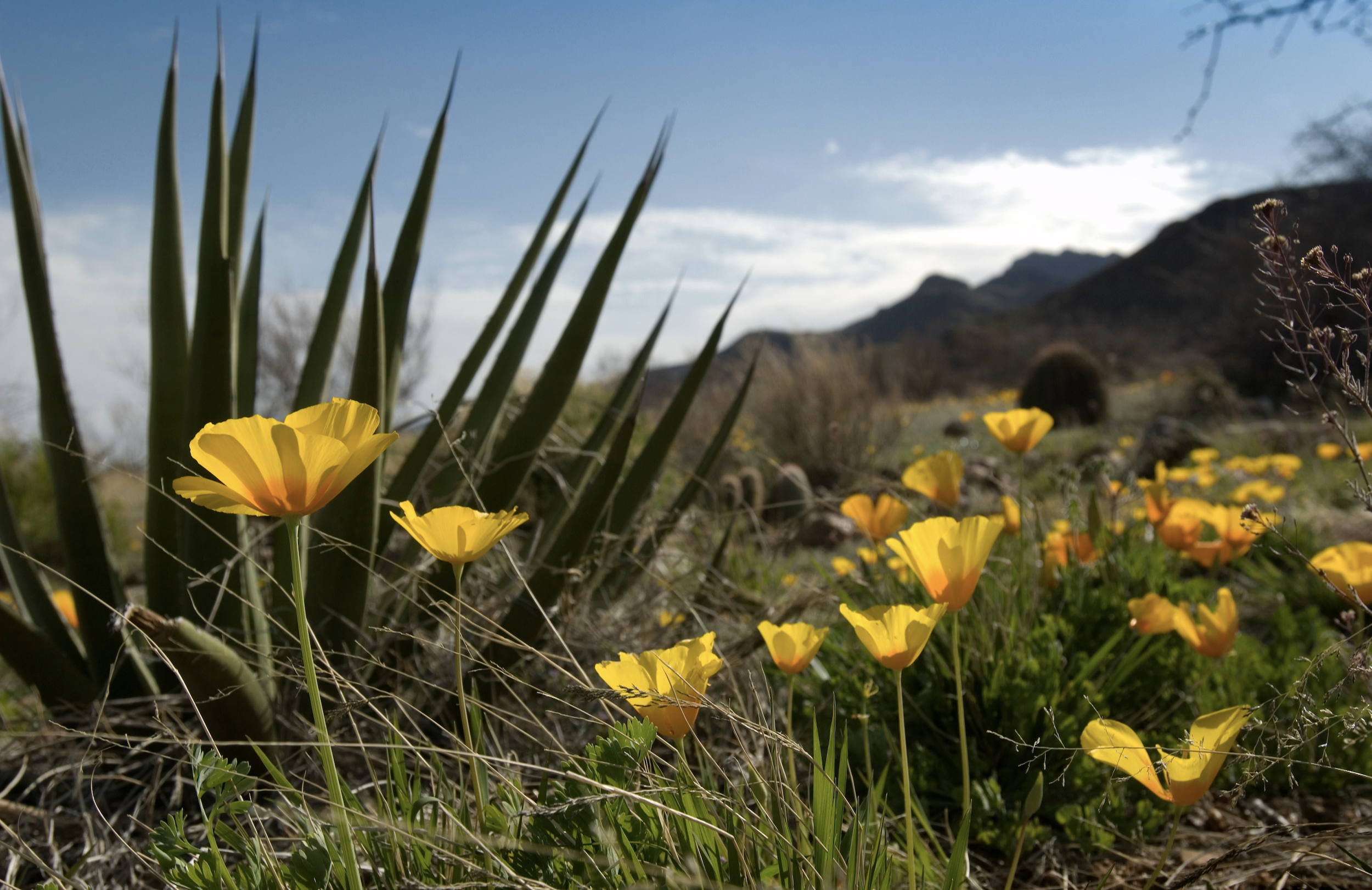
10,000 Signatures (Apr 2, 2016)
Annual Poppies Fest is held with record numbers of residents showing up to support Castner Range. We announced 10,000 signatures.
State Park Visitor Center On Hold (Aug 15, 2016)
El Paso Inc. shares that the State Park Visitor Center is on hold. Read More
25,000 Signatures (Aug 25, 2016)
We celebrate the 100th anniversary of the National Park Service by announcing 25,000 signatures of support.
35,000 Signatures (as of Oct 26, 2016)
Public Meeting (Nov 17, 2016)
President Obama MOU (Jan 2017)
Joint BLM/DOD Statement (Jan 19, 2017)
Letter from outgoing Director, Bureau of Land Management and continuing Deputy Assistant Secretary of Defense [for the] Environment (etc.), Department of Defense stating that “the Army will continue to work … to determine the cleanup required for military munitions to allow the land to be used for its intended purpose … [and] stand ready to work with you to reach your goal of ensuring Castner Range is conserved …”
Section 2825, 2018 National Defense Authorization Act (NDAA) (Feb 2017)
Sec. 2825 prevented future commercial development of Castner Range. But Castner campaigners objected to the limitations implied by the word “commercial”—a local attorney’s research confirmed that governmental development was, indeed, non-commercial—and reported their
concerns to then-Congressman Beto O’Rourke. See the following item for the outcome.
Section 2846, 2018 NDAA (Dec 2017)
In early August 2017, Section 2825 morphed into the new Section 2846 (2018 NDAA), which included this language: There shall be “no permanent road, no temporary road, no use of motor vehicles or motorized equipment, no landing of aircraft, no other form of mechanical transport, and no structure, building or installation of any kind [our emphasis] except measures required to protect the health and safety of persons.” President Trump signed the 2018 NDAA (containing Section 2846) in December of 2017. Section 2846 has remained intact and unaltered since then.
“Keep Castner Conserved” (May 4, 2019)
“Keep Castner Conserved” dinner and celebration co-sponsored by the Frontera Land Alliance and the Castner Heights Neighborhood Association at the Kaboom Party Hall on Stahala Street in Northeast El Paso. Since 2010 the CHNA’s President had been Joe Molinar, Marine veteran and retired El Paso Police Department detective who in December, 2020 was elected to a four-year term as District 4 Representative on the El Paso City Council.
Hikes for students at El Paso’s Coronado High School (2017)
Organized since 2017 by Mrs. Kasey Peña, Active-Learning Leader at the school, the hikes engaged scores of students who would meet at the El Paso Museum of Archaeology on the 17-acre City-of-El-Paso-owned property surrounded by Castner Range, which itself is off-limits to hikers et al. CRNA campaigners led the hikes.
April 22, 2021
El Paso’s Congresswoman Veronica Escobar introduces H.R. 2752, “The Castner Range National Monument Act” in the U.S. House of Representatives. The bill if approved by the House and the Senate would make Castner Range a national monument. Rep. Escobar’s action was widely celebrated by CRNM campaigners and across the board throughout El Paso itself.
_____________________________
*”The Remedial Investigation/Feasibility Study (RI/FS) represents the methodology that the Superfund [CERCLA] program has established for characterizing the nature and extent of risks posed by uncontrolled hazardous waste sites and for evaluating potential remedial options. The RI serves as the mechanism for collecting data … [T]he FS is the mechanism for the development, screening and detailed evaluation of alternative remedial actions.” (From website http://www.epa.gov/superfund/policy/remedy/sfremedy/rifs.htm)